
Fun Facts About Land Surveying: The Hidden Science Behind Every Property Line in Florida
When most people think about land surveying, they imagine someone standing beside a road with a tripod and a strange-looking instrument. While that image is accurate, it barely scratches the surface of what land surveyors actually do.
Land surveying is one of the oldest professions in human history and remains one of the most important services in modern construction, real estate, engineering, and legal property ownership.
At Florida Building & Land Surveying, a division of Florida Builders Engineers & Inspectors, we provide professional land surveying services throughout all 67 counties in Florida. From boundary surveys to ALTA/NSPS surveys, FEMA Elevation Certificates, and construction stakeouts, our team helps property owners, developers, lenders, and attorneys solve complex property issues every day.
Here are some fascinating and fun facts about land surveying that may surprise you.
1. Land Surveying Is Older Than the Pyramids
Land surveying dates back over 5,000 years. Ancient Egyptians used surveying techniques to re-establish property boundaries after the Nile River flooded each year.
Without surveyors, many of the world’s greatest engineering achievements—including the pyramids, aqueducts, and road systems—would not have been possible.
2. George Washington Was a Surveyor
Before becoming the first President of the United States, George Washington worked as a professional land surveyor.
At just 17 years old, he surveyed wilderness lands in Virginia. Washington often credited surveying with teaching him discipline, mathematics, and leadership.
3. Surveyors Help Prevent Property Line Disputes
Many disagreements between neighbors start because no one knows exactly where the property line is located.
A professional boundary survey can:
- Determine the true property corners
- Identify encroachments
- Confirm fence locations
- Resolve legal disputes
A survey often costs a few hundred to a few thousand dollars, but it can prevent litigation costing tens of thousands.
4. Surveyors Still Search for Buried Monuments
Surveyors frequently locate iron rods, concrete monuments, brass disks, and old markers placed decades ago.
Finding an original monument is like discovering a treasure that legally defines where your property begins and ends.
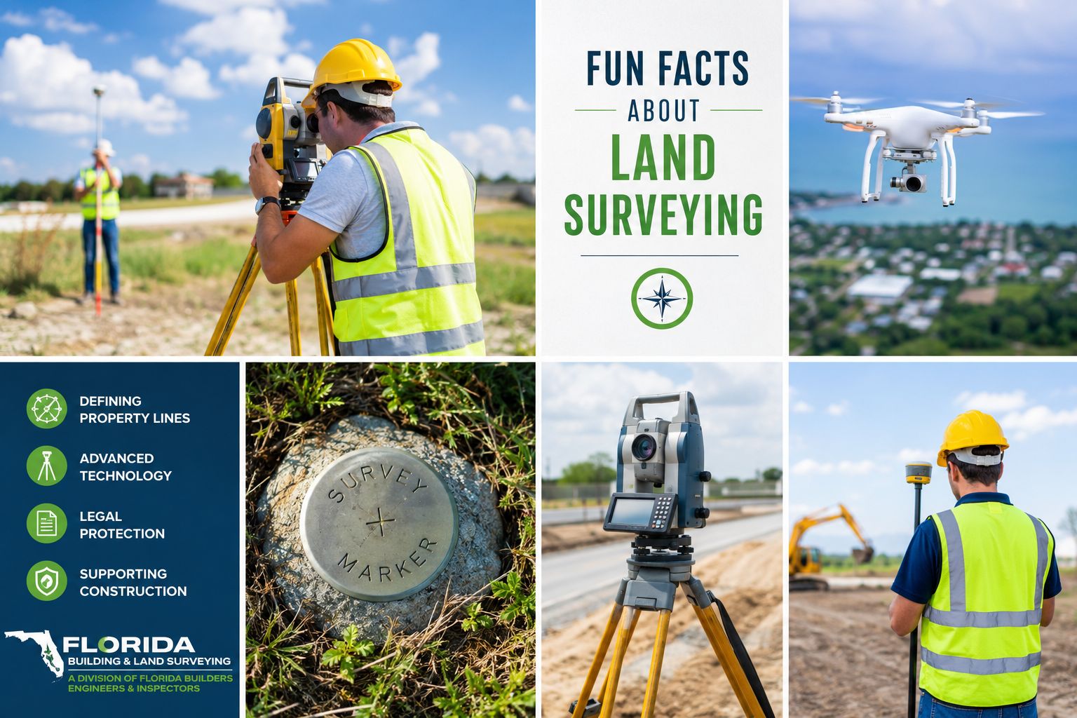
5. Modern Surveyors Use GPS, Drones, and LiDAR
Today’s surveyors use advanced technologies including:
- GNSS satellite receivers
- Robotic total stations
- Drones
- LiDAR scanners
- 3D modeling software
These tools improve accuracy and dramatically reduce field time.
6. Surveyors Help Determine Flood Zones
If your property is near water, a surveyor may prepare a FEMA Elevation Certificate to support flood insurance rating or a Letter of Map Amendment (LOMA).
Florida property owners can often save significant money when accurate elevation data is submitted to the Federal Emergency Management Agency.
7. Surveyors Work in Some Incredible Places
Surveyors may work on:
- Beaches
- High-rise rooftops
- Swamps
- Airports
- Construction sites
- Underwater marine environments
At Florida Building & Land Surveying, our crews handle projects from urban downtown sites to remote coastal properties.
8. Land Surveyors Can Fly Over Your Property
Survey-grade drone mapping allows thousands of points to be collected in a single flight.
Florida Builders Engineers & Inspectors also uses aircraft and drone technology to reach and document sites quickly across the state.
9. A Survey Is Often Required to Buy or Refinance Property
Lenders and title companies commonly require surveys to identify:
- Easements
- Encroachments
- Boundary conflicts
- Improvements
Without a current survey, a closing can be delayed.
10. Surveying Is a Combination of Law, Math, and Detective Work
Surveyors interpret:
- Historical deeds
- Recorded plats
- Court cases
- Field evidence
- Modern measurements
The result is a legally defensible opinion of where property boundaries exist.
Why Choose Florida Building & Land Surveying?
Florida Building & Land Surveying is a division of Florida Builders Engineers & Inspectors, a Florida licensed engineering and surveying firm providing services throughout the state.
We offer:
- Boundary Surveys
- ALTA/NSPS Land Title Surveys
- Topographic Surveys
- Construction Stakeout
- FEMA Elevation Certificates
- LOMA Support
- Drone and LiDAR Mapping
- As-Built Surveys
Our multidisciplinary team combines surveying, engineering, and inspection expertise to solve complex property issues efficiently.
Contact Florida Building & Land Surveying
Florida Building & Land Surveying
A Division of Florida Builders Engineers & Inspectors
Statewide Florida Coverage – All 67 Counties
☎ 877-894-8001
Website: Florida Building & Land Surveying